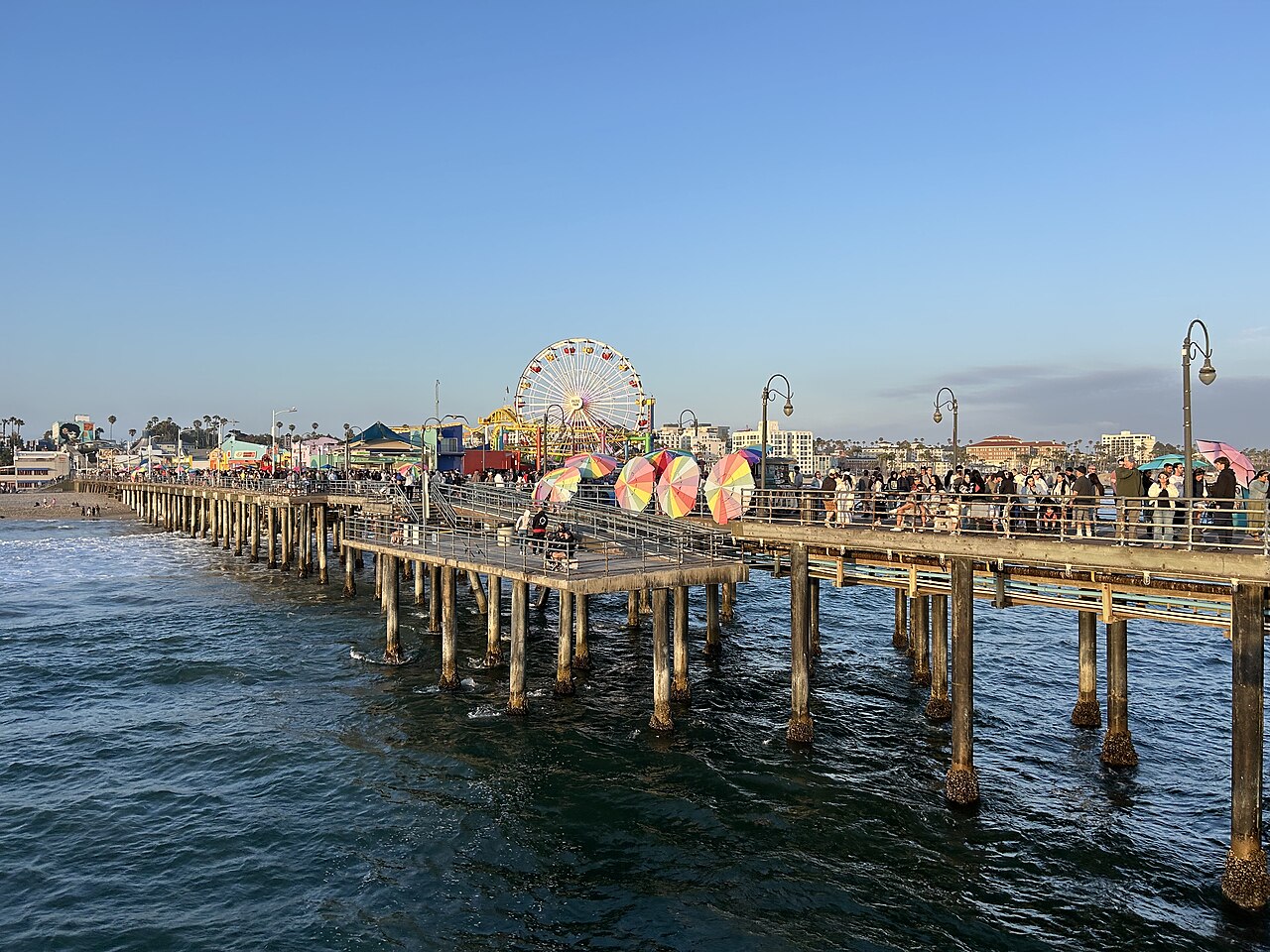
Los Angeles has warning technology, rescue aircraft and evacuation maps. The harder question is whether those resources can move people out of danger while keeping hospitals, drinking water and emergency communications working. That is the useful test of preparedness in 2026: follow the warning all the way to safety.
The scale needs care. California’s provisional January 1, 2026 estimates put the city at 3,806,201 residents and Los Angeles County at 9,837,286. The county total includes the city. Neither number is a tsunami evacuation forecast. The county’s 2025 risk plan says about 75,000 people live in areas that could flood in a tsunami; workers, students and visitors make the number present vary. [1] [2]
The lesson from 2004
On December 26, 2004, a magnitude 9.1 earthquake off Sumatra generated the Indian Ocean tsunami. No official Indian Ocean tsunami warning system existed then, according to NOAA. Los Angeles faces a different setting: the San Andreas is predominantly a sideways moving fault, not the kind of subduction boundary that produced that catastrophe. Offshore faults, submarine landslides and distant Pacific earthquakes still create a separate tsunami threat. [3] [4]
How much time is really available
Earthquake and tsunami warnings run on different clocks. California’s earthquake early warning system detects a rupture already underway. An alert can arrive before, during or after shaking at a particular location. Seconds are time to take protective action, not a reliable window for emptying a school or driving across a city. No scientist can give the date of the next major earthquake. [6] [28]
The city’s 2018 tsunami annex gives a local tsunami a source-to-coast travel time of roughly five to 30 minutes. That clock starts at the source, not when a teacher receives a message. A distant Aleutian scenario described by the state in 2021 gives Los Angeles about six hours before the first surges; assessment, notification and mobilization consume part of that interval. These are planning examples, not a guaranteed 2026 countdown. [7] [5]
A natural warning can come first. The National Weather Service says people in a low coastal area or tsunami zone who feel strong or long shaking should protect themselves during the earthquake, then move out of the hazard zone as soon as they can safely do so, without waiting for an official tsunami message. [30]
A practical calculation is: estimated arrival minus time already spent detecting and communicating the threat, minus mobilization, travel and a safety margin. If the time remaining is shorter than the group’s actual movement time, the proposed evacuation cannot work. This is an operational test, not a prediction of a specific wave.
Higher ground and a usable route
The coast is not one flat surface. In its 2021 mapping explanation, the state described potential flood elevations of 12 to 15 feet at the ports. Those are water elevations, not a uniform wave height everywhere. A city route description identifies Western Avenue near 25th Street in San Pedro at about 200 feet above sea level. That contrast explains why reaching land outside the hazard zone matters more than the citywide population. [5] [7]
The evacuation maps inspected for this article are marked June 7, 2023, although they accompany a 2018 annex. Venice maps show routes inland, including Washington Boulevard and the Marina corridor. Wilmington maps show northbound routes including Figueroa Street and Avalon Boulevard. A route arrow establishes a plan; it does not certify bridge integrity, traffic capacity or road access after an earthquake. The closest usable refuge depends on the exact starting point, mobility and current official instructions. [7]
Schools must move before parents arrive
LAUSD tells families that students protect themselves during shaking and then evacuate buildings to assembly areas. Coastal schools in the tsunami inundation zone may relocate to another school; parents are notified through the district’s messaging system. An assembly yard is not automatically a tsunami refuge. The destination and route must put children outside the relevant flood hazard. [9]
California’s child care center rules require a disaster plan and drills at least every six months. They also say drills do not have to take children off the center’s grounds. A completed drill therefore does not prove that infants, children with disabilities and staff can reach a distant refuge in time. UCSF’s child care resources include relocation planning and flood and tsunami exercises. [10] [11]
Parents need the actual relocation and release procedure, authorized pickup contacts and a communication fallback. For each facility, the practical questions are who moves children who cannot walk, where medicines go and how attendance is checked. This review has not timed a school or inspected its transport arrangements. A citywide promise about every child would go beyond the evidence.
Who gets scarce help
Los Angeles’ logistics annex explicitly anticipates shortages. Its Emergency Operations Center coordinates allocation when resources are scarce or departments disagree. A prioritization matrix considers immediate threats to life, evacuations, infrastructure damage and road closures. The tsunami annex specifically assigns fire personnel assistance with people who have access or functional needs and with facilities housing medically fragile people. These are operational criteria, not a fixed ranking of residents by age or neighborhood. [12] [7]
Hospitals, care homes and evacuation transport are linked: moving a patient requires a receiving facility as well as a vehicle. The city’s base plan organizes fleet support and distribution of supplies. Its existence does not demonstrate that every requested bus, ambulance, driver or shelter place would be available simultaneously in a regional disaster. [13]
Helicopters are a limited rescue resource
LAFD lists five medium-duty and two light-duty helicopters at Van Nuys Airport, with missions including air ambulance transport and hoist rescue. The two light helicopters serve training and aerial supervision. This is the city fire fleet, not the total available from county, state, federal or private partners. It is also not a count of aircraft guaranteed available after a particular earthquake. [14]
No verified mass airlift capacity for the hypothetical tsunami was established in this review. An air bridge would need usable aircraft, crews, fuel, receiving sites and functioning air coordination. Helicopters can be vital for individual rescues and medical transport; treating them as the primary exit for tens of thousands of people would require a capacity calculation that the fleet list does not supply.
When professional help cannot reach everyone
The county advises households to hold food, water and medicines for at least ten days. That is preparedness guidance, not a prediction that help will take ten days. It does show that immediate assistance for every household is not the planning assumption. LAFD’s CERT program trains residents in basic response and stresses personal and family safety before community assistance. Participation does not make an untrained resident a professional rescuer. [24] [26]
The county’s 2026 emergency survival guide distinguishes an evacuation warning from an order to leave immediately. This general distinction does not override the National Weather Service’s advice to act on natural tsunami warnings. Building owners also face specific retrofit obligations. These requirements differ from household preparedness recommendations and voluntary neighborhood response. A general claim that all residents must conduct rescue operations is not supported by the sources reviewed. [27] [18] [30]
What has actually improved by 2026
The mayor’s office reported in August 2026 that crews had installed more than four miles of earthquake-resilient pipe on the Foothill project and 67.2 miles citywide since 2012. Those are concrete infrastructure gains. They are not a certification that every household’s water supply will survive a major earthquake. [15]
LADWP’s 2025–26 infrastructure plan records about 11,500 feet of earthquake-resilient distribution pipe installed in fiscal 2024–25 against a 17,600-foot goal. The same page reports that total mainline installation exceeded its separate target. The measures cover different work. The 3rd Street project’s published schedule runs to July 2028, illustrating that part of the resilience program remains unfinished. [16] [17]
Water sewage food and animals share the logistics problem
Restoring drinking water alone is not enough if sewage collection or treatment is unavailable. After Hyperion’s screening equipment failed in July 2021, sewage flooded parts of the plant and escaped through an ocean outfall. EPA’s 2024 account describes an order requiring improvements. This was a documented treatment failure, not a tsunami. The order does not establish that all improvements were complete by 2026, or provide an inventory of the region’s submerged infrastructure. [23]
Food distribution requires functioning access, handling and local delivery. The city’s 2023 base plan includes mass feeding, shelter and supply distribution arrangements. Its framework is evidence of preparation, not proof of stocked meals, uninterrupted refrigeration or a delivery time for every neighborhood. These are the quantities a readiness assessment needs to verify. [13]
Large animals add trailers, handlers, feed, water and receiving space to the same transport problem. The county asks horse owners to arrange transport and two potential shelter locations in advance and to act at the warning stage. Its animal emergency program includes trained officers and volunteers. These are arrangements to make beforehand; they are not a guarantee of animal rescue from a flooded property. [25]
A warning network needs working connections
FirstNet provides nationwide public safety broadband with priority over ordinary traffic. Its 2026 manual describes it as complementing existing land mobile radio systems. Los Angeles also has the regional LA-RICS communications organization. Multiple systems can provide alternatives, but this review did not independently verify every agency’s radio interoperability, backup power or outage endurance. [19] [21]
FirstNet has deployable cell sites that connect through satellites and do not depend on commercial power at the site. They offer a way to restore connectivity. They still have to be requested, delivered and operated; national availability is not evidence of instant coverage at every damaged school, harbor or command post. [20]
An undersea cable break, a damaged local fiber route and a powerless cell site are different failures. A city proposal for the LAX Transpacific Cable Landing describes infrastructure for up to four future submarine cable systems. That is proposed capacity, not a count of existing working cables. Neither that proposal nor the sources reviewed establish that one broken sea cable would disconnect all of Los Angeles. [22]
Survival is possible and the remaining questions are specific
There is no defensible single death toll for a tsunami “the same size as Thailand’s.” A scenario needs a defined source, local flooding, population present and evacuation performance. USGS explicitly warns that exposure inventories are not mortality estimates. Its 2013 scenario should not be relabeled a 2026 casualty forecast. Nor should a historical earthquake loss estimate be presented as tsunami deaths. [29]
The evidence supports a more useful conclusion. Los Angeles has made real improvements and has detailed response arrangements. Whether those arrangements protect a particular person depends on completed local work and usable capacity: a child’s relocation time, a route outside the hazard zone, transport for someone unable to walk, a working radio and essential supplies after evacuation. Those are measurable tests. They are also where the next stage of reporting should concentrate.